Tokyo's first midsummer day, possible extreme heat!
当サイトは広告が表示される場合がございます。
2024年06月12日/お知らせ & コラム
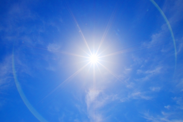
Today, the temperature will rise under clear skies, reaching 29°C in Sapporo. In central Tokyo, it might be the first midsummer day of the year, with a high possibility of some areas approaching extremely hot conditions.
On June 12, temperatures rise under mostly clear skies from Hokkaido to northern Kyushu. Sapporo will reach a high of 29°C, near 30°C. Central Tokyo is expected to hit 30°C, marking the first midsummer day of the year. Toyooka in Hyogo and Hita in Oita may approach extremely hot conditions, necessitating caution against heatstroke.
Wide sunshine across Honshu, heavy rain warning in Okinawa
On June 12, 2024, high pressure is expected to cover the area around Honshu.From Hokkaido to northern Kyushu, sunshine is anticipated. However, the atmosphere will gradually become unstable, leading to sporadic showers and thunderstorms in the afternoon. In mountainous areas, localized thunderclouds may develop, resulting in heavy rain. Please be aware of sudden weather changes. Southern Kyushu will be mostly cloudy with scattered rain.
Okinawa will be affected by the seasonal rain front, bringing rain and thunderstorms. Some areas on the main island may experience very heavy rain. Strict vigilance against landslides is necessary. Additionally, caution is needed for rising river levels, flooding, and inundation of low-lying areas.
Central Tokyo will experience its first midsummer day of the year, and Sapporo, Hokkaido, will reach nearly 30°C.
Due to unseasonably warm air and sunshine, daytime temperatures will rise rapidly.The highest temperature in Sapporo is expected to be 29°C, nearing 30°C, making it the hottest day of the year so far. In cities like Kitami, temperatures will reach 30°C, bringing midsummer heat to parts of Hokkaido.
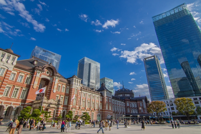
Central Tokyo is expected to experience its hottest day of the year. With a high of 30°C, it will mark the first midsummer day of the year for the city. Nagoya and Osaka will also see midsummer days with severe heat.
The area around Honshu will be covered by high pressure. From Hokkaido to northern Kyushu, sunshine is expected. However, the atmosphere will gradually become unstable, and sporadic showers and thunderstorms are expected in the afternoon. In mountainous areas, localized thunderclouds may develop, resulting in heavy rain. Be aware of sudden weather changes. Southern Kyushu will be mostly cloudy with scattered rain.
Okinawa will be affected by the seasonal rain front, bringing rain and thunderstorms, with some areas on the main island experiencing very heavy rain. Strict vigilance against landslides is necessary. Additionally, caution is needed for rising river levels, flooding, and inundation of low-lying areas.
The seasonal rain front has not moved northward, delaying the rainy season's onset around Honshu. It is expected to be mostly sunny until around Friday, the 14th. Due to the effects of sunshine and unseasonably warm air, the severe heat will continue.
The peak of this heatwave is expected on Friday, the 14th. The highest temperature is expected to reach 36°C in Kiryu, Gunma Prefecture, 35°C in Kumagaya, Saitama Prefecture, and Fukuchiyama, Kyoto Prefecture, with some areas experiencing extreme heat. Temperatures in Fukushima, Kyoto, Toyooka in Hyogo Prefecture, and Hita in Oita Prefecture are expected to reach 34°C, nearing the threshold for extremely hot days. Be on high alert for heatstroke.